


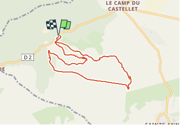

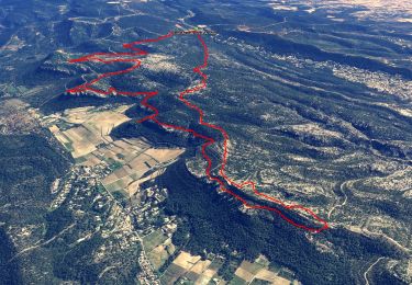
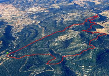
16.5 km | 24 km-effort


User


FREE GPS app for hiking
 SityTrail
IGN / Geographical institutes
SityTrail World
The world is yours!
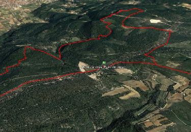
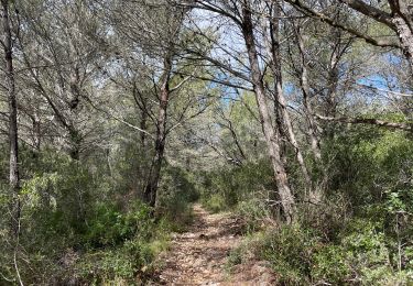
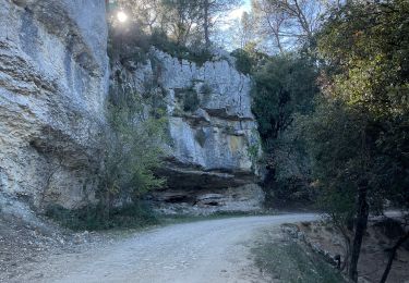
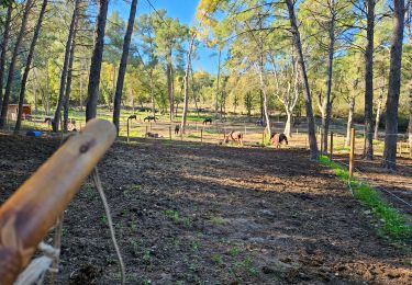
Trail Walking of 9.8 km to be discovered at Provence-Alpes-Côte d'Azur, Var, Le Castellet. This trail is proposed by FSantoni.
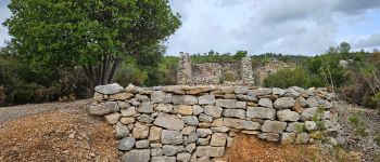
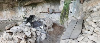
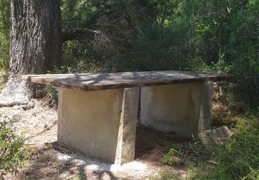
Beaucoup de pierriers.
Mais bien quand même.
Première rando (douce) avec les excursionnistes toulonnais


Walking
Walking
Walking

Walking
Walking
Walking

sport
sport
Walking